

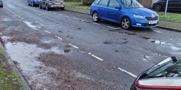


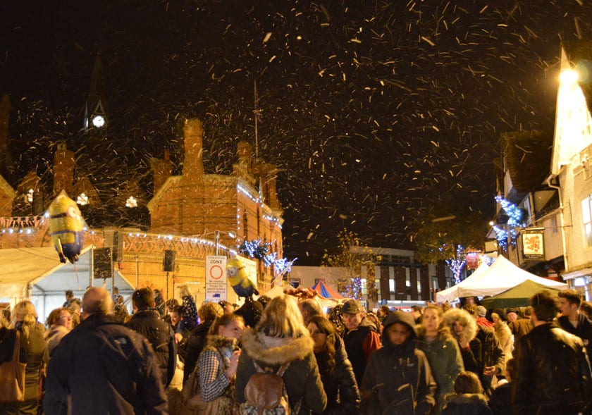
As the cold weather returns, snow is currently forecast by the Met Office for Tuesday, February 6.
Temperatures have plummeted over the weekend as an Arctic blast sweeps across the UK and now the forecasters are predicting a sprinkling of the white stuff across Wokingham borough.
As with all snow forecasts, it is unpredictable and this latest forecast will almost certainly change.
However, at the moment there is a 60% change that light snow showers will fall over a two-hour period from 7pm to 9pm.
And the forecast isn’t all that optimistic for anyone wanting to make their own Olaf the Snowman:
“Cold and crisp, with early freezing fog patches in generally light winds. Brighter than Monday for many, however cloud and a little snow spreading southeast later may give patchy accumulations,” reads the forecast.
There may also be some more snow flurries on Wednesday, but none are currently forecast.
Weather warnings have been issued for much of the country but do not include the south east.
Amanda Stretton, motoring editor at Confused.com, has issued some advice to drivers on how to stay safe this winter.
She said: “Drivers should take heed of the wintry weather warnings as over 2,000 road accidents were reported in one year in icy and snowy conditions.
“Our research suggests half (49%) of the driving population try to avoid driving in such weather, but it’s not always an option. Motorists who are taking to the road should plan their journeys in advance, keeping to major roads where possible, as they are more likely to have been gritted.
“Before heading out drivers should give at least 10 minutes to allow time to de-ice their windscreens – if your windscreen is not cleared correctly, it can land you with up to £60 in fines or points on your licence.
“Using our guide, drivers can educate themselves and avoid fines at a time where motoring costs are increasingly on the up.”
As ever, the forecast is correct when we wrote this story. Snow is difficult to forecast and the situation make change at short notice.


