


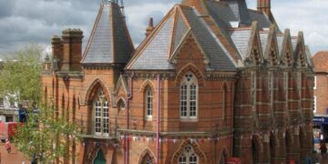


REVEALING how Wokingham has changed through the years – a hand-drawn land use map has been unearthed from its hiding place.
The map was drawn in 1960 by Dr Robin Campbell – as part of the geography course he was studying at Borough Road College, London.
Information for the map was collated by Dr Campbell and his wife-to-be, Ruby — who was studying in Easthampstead at the time.
“She did most of the leg-work around the town,” he said.
For the last 50 years, it has been stored in the Campbells’ attic.

The map was drawn as part of Dr Campbell’s studies for a teacher training course. He later went on to become a primary school teacher, and then a Professor of Primary Education.


