



















![Reading Festival has laid out its Look Out For The Planet pledge ahead of its return next week, bringing measures set to promote sustainability. Picture: Luke Dyson [LukeDyson.com]](https://wokingham.today/wp-content/uploads/2026/08/Img1871502-360x180.jpg)


Every day, thousands of us walk, cycle, or drive down Wokingham’s roads without a second thought.
But look closely at the street signs across our market town, and you’ll find a living map of our medieval, royal, and industrial heritage.
From 14th-century pathways to Victorian expansions, the names of Wokingham’s thoroughfares tell the story of how a Saxon forest settlement grew into the bustling town we know today.
Here, we take a look at the fascinating history behind five of our most familiar road names.
1. Denmark Street
Today, Denmark Street is a bustling hub of shops and restaurants, but its name holds a romantic royal connection.
Originally recorded in the 14th century as Le Don Strete (and later known simply as Down Street), the road underwent a grand rebranding in 1863.
The name change was made to honour Princess Alexandra of Denmark following her marriage to Edward, Prince of Wales (later King Edward VII). The town marked the royal nuptials by shedding the old “Down Street” moniker, leaving us with a permanent reminder of Victorian royal fever.
2. Rose Street
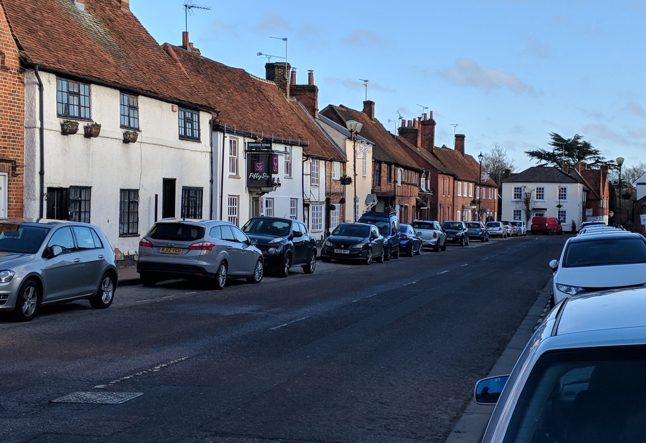
As one of the oldest and most picturesque streets in Wokingham, Rose Street – originally Le Rothe Strete in the 1300s – is famous for its beautiful timber-framed houses.
However, its name likely stems from a highly practical medieval purpose rather than the flower itself.
Historically, Rose Street was an enclosed, narrow street, making it the perfect location to hold the town’s busy horse fairs, as livestock could be easily corralled.
While some historians debate whether the name relates to a long-forgotten tavern sign or the clearing of land, Le Rothe is widely believed to refer to the clearing of the old royal forest to make way for the town’s expansion.
3. Bell Foundry Lane
Tucked away from the town centre, Bell Foundry Lane carries the legacy of Wokingham’s most successful medieval industry.
From the mid-1300s until the early 17th century, Wokingham was renowned across the South of England for its bell casting.
Operating heavily from this area, master founders like the Landen family crafted church bells that were shipped far and wide, many of which still ring out in parish churches today. The Landen family famously stamped their bells with a lion’s head – a true mark of historic Wokingham craftsmanship.
4. Shute End
For anyone entering the town from the west, Shute End is a familiar landmark, home to the offices of Wokingham borough council.
In the 14th century, this area was known as La Schete.
The name “Shute” or “Schete” is an Old English term that roughly translates to a straight strip of land, a corner, or a “shoot” leading out of the town. In medieval times, it literally marked the point where the built-up market town ended and the vast, untamed expanse of Windsor Great Forest began.
5. Norreys Avenue
Moving into more modern history, Norreys Avenue represents a post-war transformation of Wokingham.
Built in the late 1940s as emergency housing following the Second World War, the horseshoe-shaped road was constructed on the grounds of the former Norreys Manor.
The manor and the road were named after the prominent Norreys family, who held significant land and influence in Berkshire for centuries. Though the old manor house is long gone, the road keeps the name of one of the region’s oldest gentry families firmly on the modern map.